
 Contatto
 Come acquistare
Consegna
Guida all'acquisto
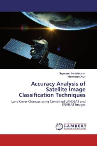
Accuracy Analysis of Satellite Image Classification Techniques
Land Cover Changes using Combined LANDSAT and ENVISAT Images
 Inglese
 95 b
95 b
Fino a 30 giorni per il reso
I clienti hanno acquistato anche

 /
/
 In brossura
 38.19
€
38.19
€











 /
In brossura
11.99
€
/
In brossura
11.99
€


 /
In brossura
26.99
€
/
In brossura
26.99
€
 /
In brossura
10.69
€
/
In brossura
10.69
€
 /
In brossura
10.79
€
/
In brossura
10.79
€




Recent monsoon failures and reduced rain falls urge the environmental and ecology researchers to concentrate on the land cover changes. Significant and efficient way to monitor the land cover changes is satellite image classification. Classification of land cover changes of the study area are identified as used land, unused land, forest and vegetation. Using different kinds of remote sensing data like LANDSAT and ENVISAT, is an important research area for improving the classification performance. This work describes the combination of remotely sensed data, LANDSAT and ENVISAT images, to improve the classification accuracy. Classification algorithms KNN (K-Nearest Neighborhood) and SVM (Support Vector Machine) are tested for the accuracy and KNN in Embedding Space (KNNES) and SVM in Embedding Space (SVMES) are proposed and tested for the improved accuracy. Accuracy is quantified by reporting standard errors i.e., producer accuracy, user accuracy, omission error and commission error.


Informazioni sul libro
Inglese

Regala questo libro oggi stesso
È facile
1 Aggiungi il libro al carrello e scegli la consegna come regalo 2 Ti invieremo subito il buono 3 Il libro arriverà all'indirizzo del destinatarioPotrebbe interessarti anche


 /
Rigido
209.49
€
/
Rigido
209.49
€



















 /
In brossura
24.09
€
/
In brossura
24.09
€







Ciao! Sono Libroamiko, il tuo consulente di libri.
Come posso aiutarti?