 Contatto
 Come acquistare
Consegna
Guida all'acquisto
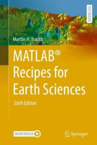
MATLAB® Recipes for Earth Sciences
 Inglese
 334 b
334 b
Fino a 30 giorni per il reso
I clienti hanno acquistato anche


 /
/
 Calendario
 56.39
€
56.39
€
 /
Calendario
19.59
€
/
Calendario
19.59
€


 /
/
 In brossura
37.29
€
In brossura
37.29
€


MATLAB® is used in a wide range of geoscientific applications, such as for image processing in remote sensing, for generating and processing digital elevation models, and for analyzing time series. This book introduces methods of data analysis in the earth sciences using MATLAB, such as basic statistics for univariate, bivariate, and multivariate data sets, time series analysis, signal processing, spatial and directional data analysis, and image analysis. The text includes numerous examples demonstrating how MATLAB can be used on data sets from the earth sciences. The supplementary electronic material (available online through Springer Link) contains recipes that include all the MATLAB commands featured in the book and example data.


Informazioni sul libro
Inglese
Categorie

Regala questo libro oggi stesso
È facile
1 Aggiungi il libro al carrello e scegli la consegna come regalo 2 Ti invieremo subito il buono 3 Il libro arriverà all'indirizzo del destinatarioPotrebbe interessarti anche


 /
In brossura
38.69
€
/
In brossura
38.69
€
 /
In brossura
12.49
€
/
In brossura
12.49
€

 /
In brossura
12.69
€
/
In brossura
12.69
€

 /
In brossura
35.09
€
/
In brossura
35.09
€


Ciao! Sono Libroamiko, il tuo consulente di libri.
Come posso aiutarti?