
 Contatto
 Come acquistare
Consegna
Guida all'acquisto
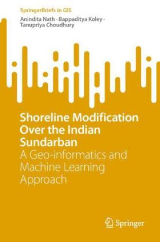
Shoreline Modification over the Indian Sundarban
A Geo-informatics and Machine Learning Approach
 Inglese
 100 b
100 b
Fino a 30 giorni per il reso
I clienti hanno acquistato anche











This SpringerBrief uses geospatial techniques to assess shoreline change dynamics in the Indian Sundarban, a unique region located in the delta of three major rivers - the Ganges, Brahmaputra and Meghna - in India and Bangladesh. It is one of the largest mangrove forests in the world. The geomorphological characteristics of this region are quite distinct from other parts of India due to its low elevation, high tidal range, and vast expanse of shallow water bodies. The chapters here cover the basics of the use of geoinformatics applications for shoreline analysis and move to a detailed description of both short- and long-term shoreline change using automated Digital Shoreline Change Analysis (DSAS). The book also covers erosion-accretion hazard zone mapping and shoreline vegetation mapping.


Informazioni sul libro
Inglese

Regala questo libro oggi stesso
È facile
1 Aggiungi il libro al carrello e scegli la consegna come regalo 2 Ti invieremo subito il buono 3 Il libro arriverà all'indirizzo del destinatarioPotrebbe interessarti anche









 /
/
 In brossura
 17.89
€
17.89
€