
 Contatto
 Come acquistare
Consegna
Guida all'acquisto
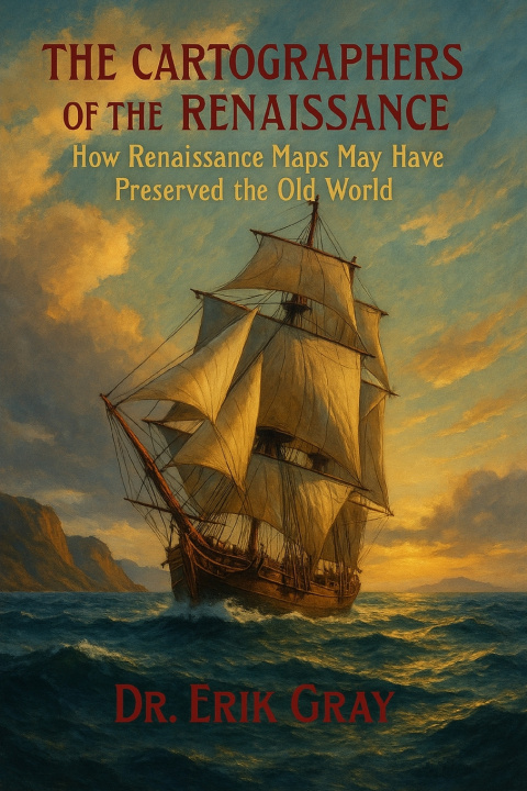
The Cartographers of the Renaissance
How Renaissance Maps May Have Preserved the Old World
 Inglese
 55 b
55 b
Fino a 30 giorni per il reso
I clienti hanno acquistato anche




From Urbano Monte's colossal planisphere to Mercator's haunting depiction of the Arctic, Renaissance cartographers did not see themselves as discoverers of a new world. They regarded themselves as transmitters of fragments from an older one. Drawing on manuscripts preserved in monasteries, the oral testimony of sailors, and books already vanishing into obscurity, they understood their role as custodians of knowledge.
In The Cartographers of the Renaissance, Dr. Erik Gray reveals how figures like Ortelius, Monte, Mercator, and Piri Reis treated maps as archives of inheritance. Abraham Ortelius's Catalogus Auctorum (1601) listed nearly two hundred authorities-many now lost-while Piri Reis noted that his 1513 map drew upon charts "made in the time of Alexander." These maps preserve echoes of sources centuries, perhaps even millennia old.
The strange coasts, phantom islands, and mythic inscriptions of Renaissance maps may reflect landscapes that once existed in an earlier age. Drawing on geological research into Holocene sea-level change and post-glacial warming, this book considers the possibility that ancient source materials enabled Renaissance cartographers to preserve traces of geographies now lost beneath the sea or ice. It offers both a study of those maps and a newly prepared modern English edition of Ortelius's Catalogus Auctorum, opening a window into the archive that shaped Renaissance geography.


Informazioni sul libro
Inglese

Regala questo libro oggi stesso
È facile
1 Aggiungi il libro al carrello e scegli la consegna come regalo 2 Ti invieremo subito il buono 3 Il libro arriverà all'indirizzo del destinatarioPotrebbe interessarti anche





Ciao! Sono Libroamiko, il tuo consulente di libri.
Come posso aiutarti?