
Entra a far parte di una comunità di amanti dei libri di tutto il mondo e ottieni numerosi vantaggi.
Crea un account gratuito
Punto Poste 5.49 €
Punto Poste 5.49 €
Corriere DHL 6.99 €
Corriere GLS 5.99 €
Punto GLS 4.49 €
Corriere Bartolini 4.49 €
Punto Bartolini 3.49 €
 Contatto
 Come acquistare

Aiuto
Consegna
Punto Poste 5.49 €
Punto Poste 5.49 €
Corriere DHL 6.99 €
Corriere GLS 5.99 €
Punto GLS 4.49 €
Corriere Bartolini 4.49 €
Punto Bartolini 3.49 €
Guida all'acquisto
Il mio account
▸
Vuoto :-(
0
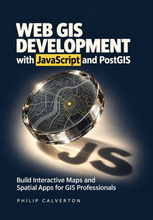
Web GIS Development with JavaScript and PostGIS
Build Interactive Maps and Spatial Apps for GIS Professionals
Lingua
 Inglese
Libro
In brossura
Build web maps that people can search, edit, and use to answer real location questions.You know the...
Descrizione completa
Codice Libristo: 54215873
?
 75 b
 Nuovi
75 b
Nuovi
30.59
€
Magazzino esterno
Inviamo tra 9-13 giorni
Fino a 30 giorni per il reso

Build web maps that people can search, edit, and use to answer real location questions.
You know the value of GIS data. Now learn how to turn it into an interactive application that helps people find facilities, compare locations, and understand the results.
Web GIS Development with JavaScript and PostGIS takes you from your first Leaflet map to a connected facility finder and site-screening project. You'll build the browser interface, connect it to a spatial database through a Node.js and Express API, and learn how to check that the application is answering the right question.
As you build, you'll learn to:
- Make geographic data easier to use. Add search, filters, popups, and coordinated results so users can find relevant information quickly.
- Check your spatial answers. Use spatial SQL in PostGIS to measure distances, identify nearby facilities, and avoid mistakes with coordinates, units, and geometry.
- Explain site rankings. Apply coverage zones, exclusions, and transparent scoring so users can see why a candidate qualifies-and how changing priorities affects the shortlist.
- Protect data during editing. Validate inputs, control access, and handle conflicting changes without silently overwriting another person's work.
- Keep growing maps responsive. Use spatial indexes, query plans, clustering, and request cancellation to reduce unnecessary work.
- Prepare for a dependable handover. Learn practical testing, Docker deployment, HTTPS configuration, backup, and recovery workflows.
Written for GIS professionals, analysts, students, and developers moving into web mapping, this guide assumes basic computer skills and introduces the JavaScript needed for the project.
Get your copy and start turning your GIS knowledge into a working web application.
Attrice
&
Poliglotta
EWA KASP
per
Riproduci video


Libristo ha la più grande selezione di letteratura in lingue straniere. Per questo compro i miei libri qui.
Informazioni sul libro
Titolo completo
Web GIS Development with JavaScript and PostGIS
Autore
Philip Calverton
Lingua
Inglese
Inglese
Rilegatura
Libro - In brossura
Data di pubblicazione
2026
Numero di pagine
272
EAN
9798162927921
Codice Libristo
54215873
Casa editrice
Independently published
Peso
440
Dimensioni
170 x 244 x 15

Regala questo libro oggi stesso
È facile
1 Aggiungi il libro al carrello e scegli la consegna come regalo 2 Ti invieremo subito il buono 3 Il libro arriverà all'indirizzo del destinatario
Consulente di libri Libroamiko
Utilizzando questa chat, stai comunicando con un'intelligenza artificiale generativa. Utilizzandola, accetti anche il trattamento dei dati personali.
Ciao! Sono Libroamiko, il tuo consulente di libri.
Come posso aiutarti?
Ciao, sono Libroamiko, posso aiutarti?